| |
|
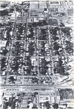 |
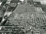
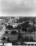
| Aerial East of Dixie Highway |
|
|
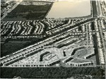
| Aerial East of Dixie Highway |
|
 |
|
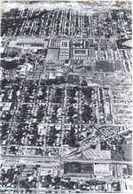
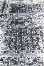
| Aerial of 38th Street |
|
|
 |
|
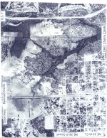
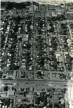
| Aerial of Cherry Creek |
|
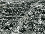 |
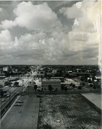
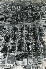
| Aerial of Dixie Highway Looking North |
|
|
| Aerial of Dixie Highway Looking North |
|
|
 |
| Aerial of Oakland Park and Andrews |
|
|
| Aerial of Oakland Park and Andrews |
|
 |
| Aerial of Royal Palm Isles Condos |
|
|
| Aerial of Royal Palm Isles Condos |
|
|
 |
| Aerial Photograph of East Oakland Park Blvd |
|
|
| Aerial Photograph of East Oakland Park Blvd |
|
 |
| Aerial view of East Oakland Park Blvd |
|
|
| Aerial view of East Oakland Park Blvd |
|
|
 |
| Aerial View of Oakland Park Blvd East |
|
|
| Aerial View of Oakland Park Blvd East |
|
 |
| Dixie Highway to west of Andrews Ave |
|
|
| Dixie Highway to west of Andrews Ave |
|
|
 |
| From 34th Street to 38th Street |
|
|
| From 34th Street to 38th Street |
|
 |
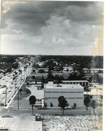
| Looking east to Federal Highway |
|
|
| Looking east to Federal Highway |
|

